PRECISION AGRICULTURE AND VITICULTURE 


Our aim is to provide soil characterisation services both for viticulture and for extensive agriculture giving companies the opportunity to make the most of the main resource of their products: the variability of the soil.

ABOUT US


We have been working in the field of precision agriculture for about ten years, thanks to the development of national and international collaborations which have earned us specific expertise in the development of geophysical applications for agriculture; at the beginning connected to ARP technology (automatic resistivity profiling), then with EMAS (Electromagnetic agro scanner) and both compared with the study of foliar vigour (NDVI), traditional soil science, the direct chemical and physical properties of soil.


Collaborations with Universities and Research Centres to link practicality to research; works for prestigious companies such as Ornellaia and Bonifiche Ferraresi have given us constantly increasing experience.

DO YOU KNOW YOUR LAND?

WE'LL HELP YOU TO UNDERSTAND IT IN-DEPTH
 
THE ADVANTAGES  OF  INTEGRATED SOIL CHARACTERISATION
 

OPTIMISE YOUR CROPS WITH PRECISION AGRICULTURE


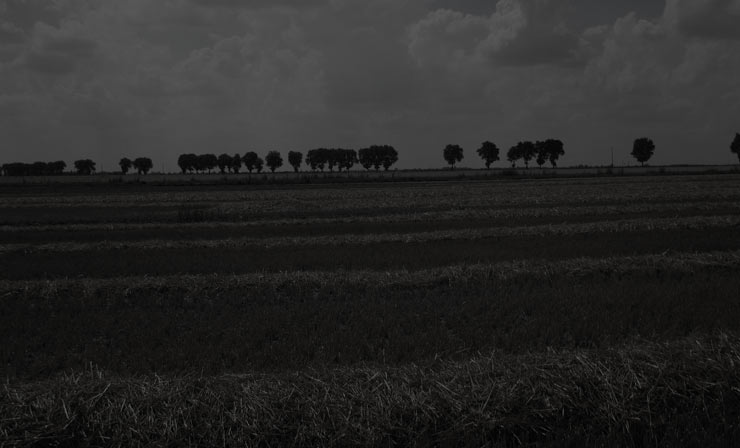
The concept of soil variability is the principle on which Precision Agriculture is based, i.e. the differentiated management technique of field cultivation factors, which takes into account the actual needs of the plant based on the biophysical and chemical characteristics of the soil. Thanks to knowledge of the spatial variability of soil properties, we are able to optimise business potential in terms of quantity, quality and yield.
 

MAP YOUR HECTARES


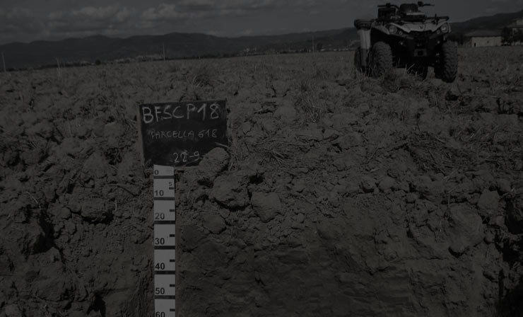
Integrated land characterisation: geo-referenced mapping of electrical resistivity at three different depths (50cm, 100c, and 180cm), choice of sampling points and observation of the soil profiles according to the homogeneous resistivity areas, chemical laboratory analyses of the samples, data integration with GIS systems for elaborating a very high spatial resolution soil map.
 

DISCOVER THE PROPERTIES OF YOUR LAND


The soil typological units (soil maps) which are created by applying the integrated method, should be deemed as significantly different areas one from another, but sufficiently homogeneous to apply the same type of agro-technical management. Soil maps are indeed the right tool to elaborate soilscapes, targeted mineral and organic types of fertilisation, also improving the company’s environmental sustainability

KNOW YOUR SOIL IN DETAIL

IT ALLOWS YOU TO ENHANCE THE QUALITY CHARACTERISTICS OF EACH PLOT OF LAND

OUR WORKS

DISCOVER OUR FLAGSHIP PROJECTS

PARTNERS

img
img
img
img
CHECK OUT THE LATEST NEWS CONCERNING AGRISOING

LATEST NEWS